The Challenge
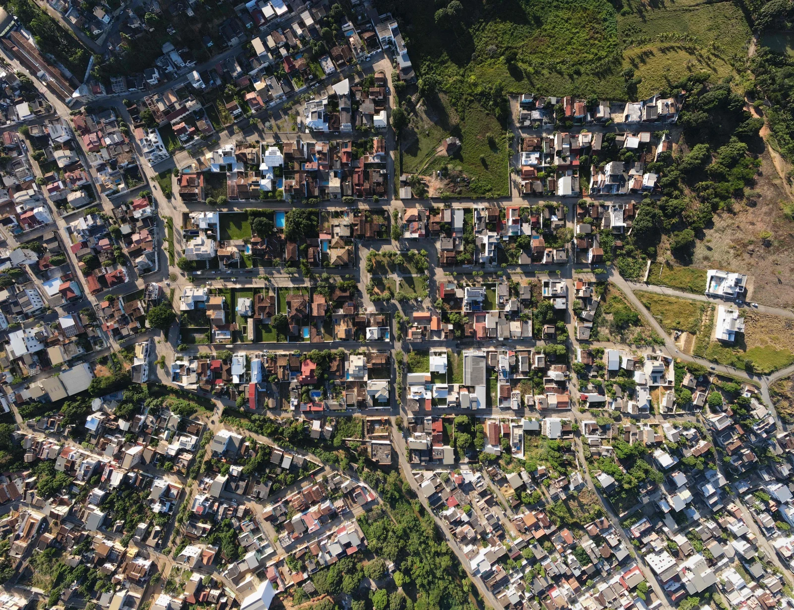
The project involved converting a 500-acre greenfield site into a fully integrated community while balancing regulatory requirements, environmental constraints, infrastructure demands, and long-term development goals. Delivering efficient land utilization, sustainable expansion, and coordinated transportation, drainage, and utility systems required a strategic and multidisciplinary planning approach.
Our Solution
WaterFirst delivered an end-to-end land development strategy encompassing master planning, ARC permitting support, civil infrastructure engineering, utility network design, stormwater management, and environmental planning. The solution included zoning and land-use optimization, roadway and grading design, drainage and flood mitigation systems, utility corridor coordination, sustainable development practices, and digital planning through BIM and GIS technologies to ensure efficient project execution and regulatory compliance.
The Results
The project successfully secured required regulatory approvals and transformed the site into a fully optimized, development-ready community. Infrastructure planning improved drainage performance, reduced flood risks, enabled efficient deployment of roads and utilities, and supported long-term phased development. The sustainable and scalable master plan increased land value, enhanced development potential, and established a strong foundation for future residential, commercial, and public infrastructure growth.