
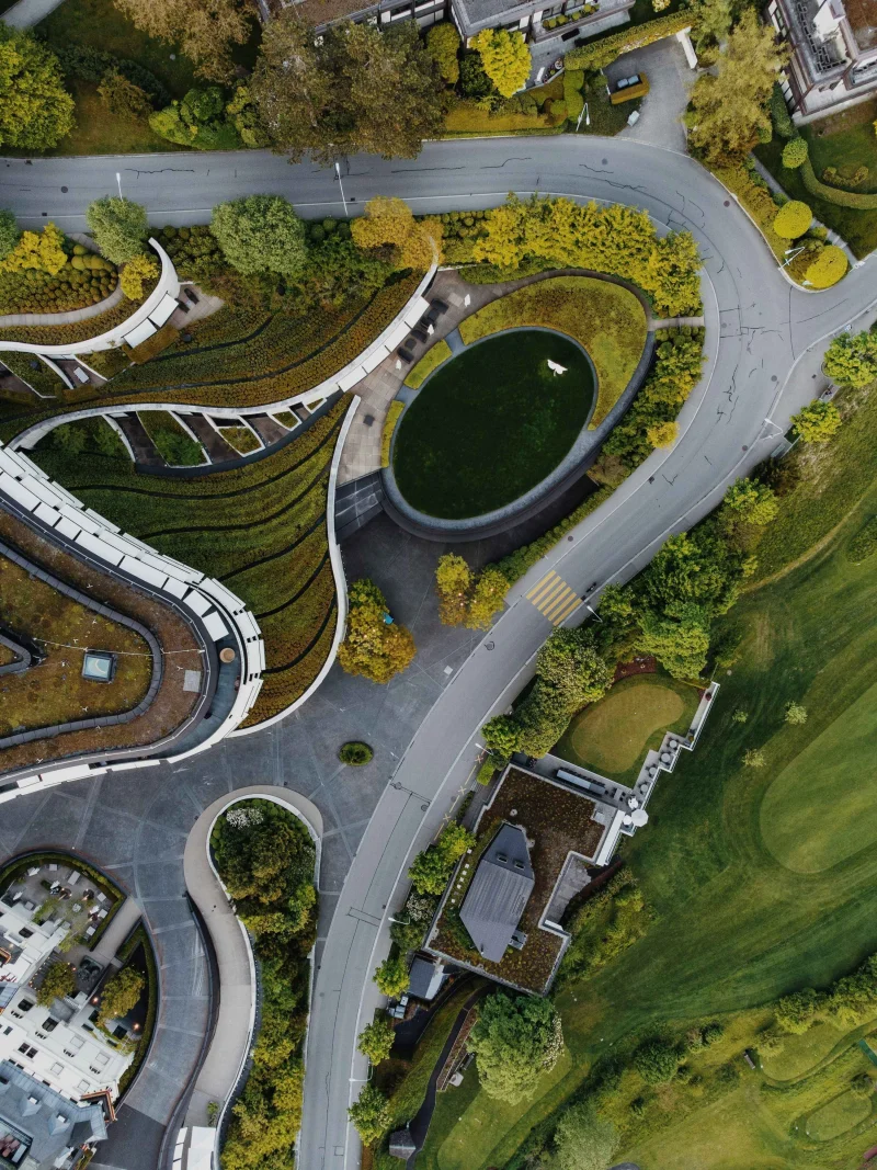
Texas is experiencing rapid growth across transportation, utilities, commercial development, and public infrastructure sectors. To meet evolving demands, engineering teams are embracing intelligent digital solutions that improve project planning, accelerate delivery timelines, and enhance overall infrastructure performance.
Advanced technologies such as Building Information Modeling (BIM), Geographic Information Systems (GIS), Scan-to-BIM, and Digital Twins are transforming how infrastructure assets are designed, developed, monitored, and managed throughout their lifecycle.
Engineering Innovation Highlights Across Texas
Regional Mobility Enhancement Program
Advanced roadway planning, transportation corridor studies, drainage system design, and integrated BIM workflows supporting efficient regional mobility.
Urban Growth & Community Development Initiative
Comprehensive land development services including site planning, utility coordination, grading solutions, and construction-ready digital models.
Integrated Water Infrastructure Project
Flood resilience planning, stormwater management, environmental assessments, and geospatial data integration for sustainable development.
Smart Infrastructure Intelligence Platform
Digital Twin technology enabling real-time visualization, predictive maintenance strategies, performance tracking, and operational optimization.
Reality Capture Transformation Initiative
High-precision laser scanning, LiDAR surveys, and Scan-to-BIM modeling supporting renovation, retrofit, and redevelopment projects.
Geospatial Planning & Mapping Program
GIS-enabled mapping, terrain analysis, survey data management, and spatial intelligence supporting informed infrastructure decisions.
Accelerating Infrastructure Through Digital Transformation
Technology Innovation Strategy Digital Sustainability Engineering